Zürich, Switzerland
Verified
Geospatial
Intelligence.
Altispectra delivers high-precision aerial surveying and geospatial data analysis for the Swiss construction and infrastructure sectors, led by former flight test engineers from a leading VTOL manufacturer.
We are not drone pilots. We are geomatics specialists. Our deliverables range from RMSE-validated orthomosaics and LiDAR point clouds to classified BIM-ready datasets, all fully referenced to CH1903+ / LV95.
EXPLORE SERVICES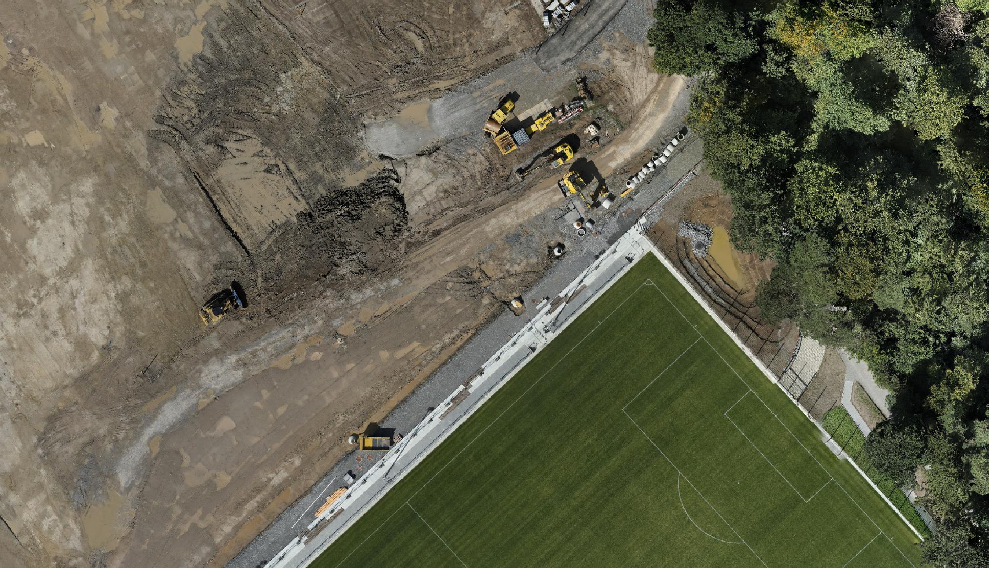
GSD: 1.4 cm/px
RMSE XY: ±1.5 cm | LV95
DJI MATRICE 350 RTK